Mile 220 Report
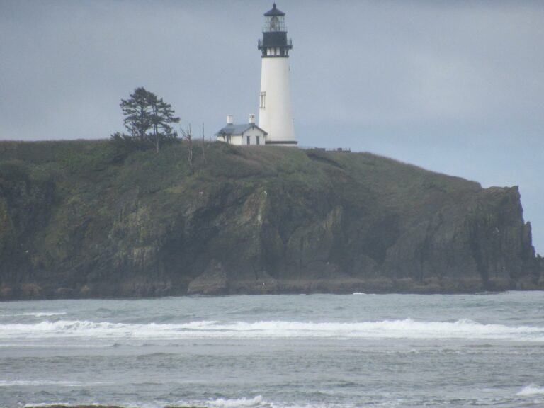
Yaquina Head north, Schooner Creek south
May 16, 2022
A nice day to walk the beach.
Report Details
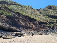
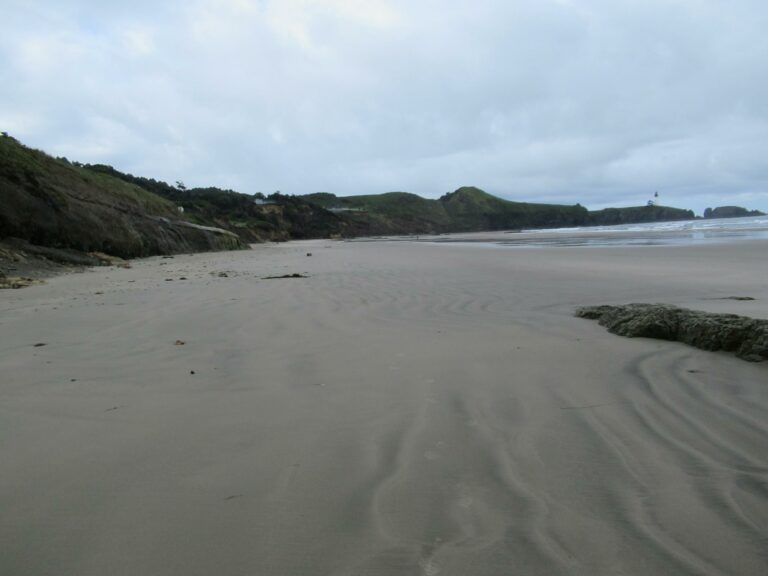
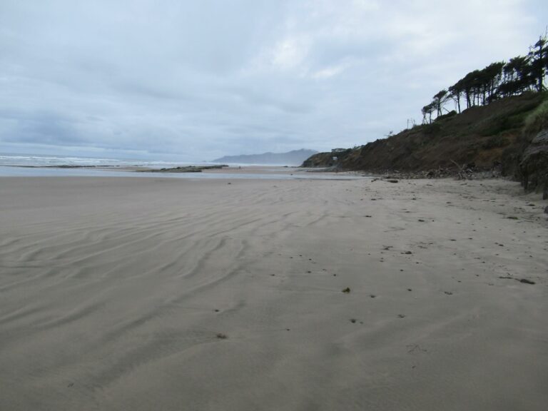
A nice day to walk the beach. With few winter storms, Starfish Beach (the old name on older maps) is full of sand.
Conditions
Temperature: 52 F. Cloud Cover: Cloudy. Wind Velocity: Calm/Light. Tide Level: -2.3 feet.
Human Activities
Number of people: 7. Number of dogs: 2. Walking or running: 6. Fishing: 1. The 2 cars were at the NW 68th Street parking lot.
Vehicles
Notable Wildlife
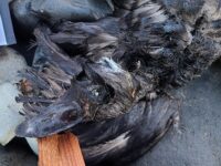
Although it is breeding season at the "islands" at Yaquina Head only about 50 birds were on beach
Driftline Content
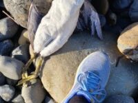
Seaweeds and seagrass, Animal casings (e.g., crab, shrimp molt). Other than some kelp and a few dungeness molts the beach was clean sand. There was also almost no microplastics.
Natural Changes
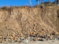
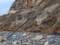
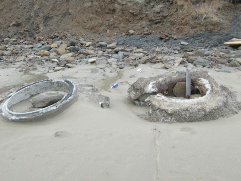
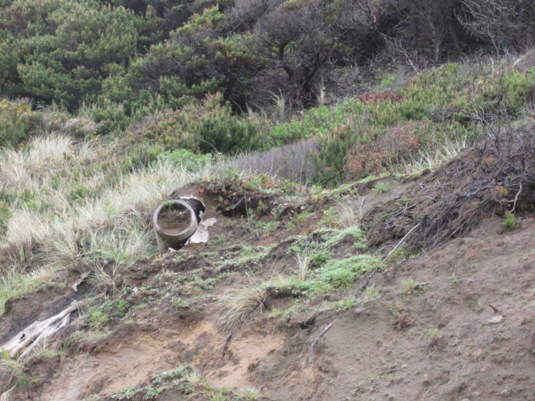
Erosion happens, so probably all of the above BUT not documented with exact photos or measurements. In several places small rocks have eroded from the cliffwall onto the beach. And in photo notes I have included some of the length of the exposed pipes.
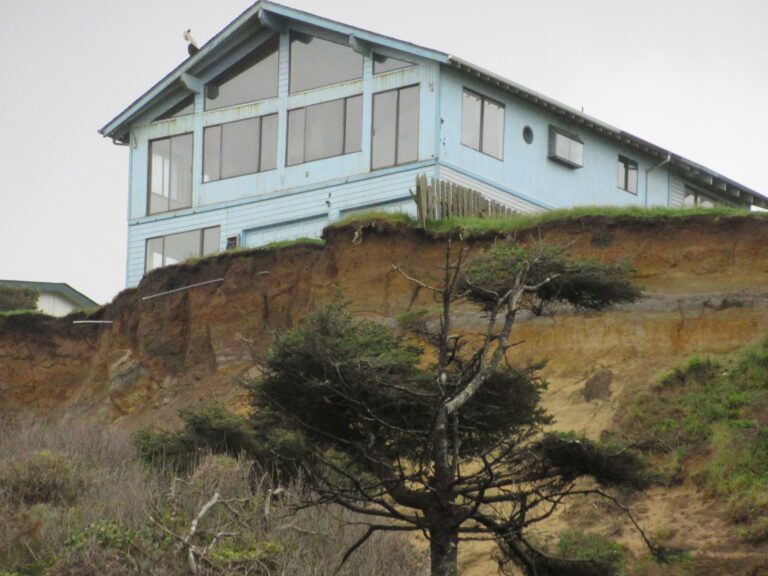
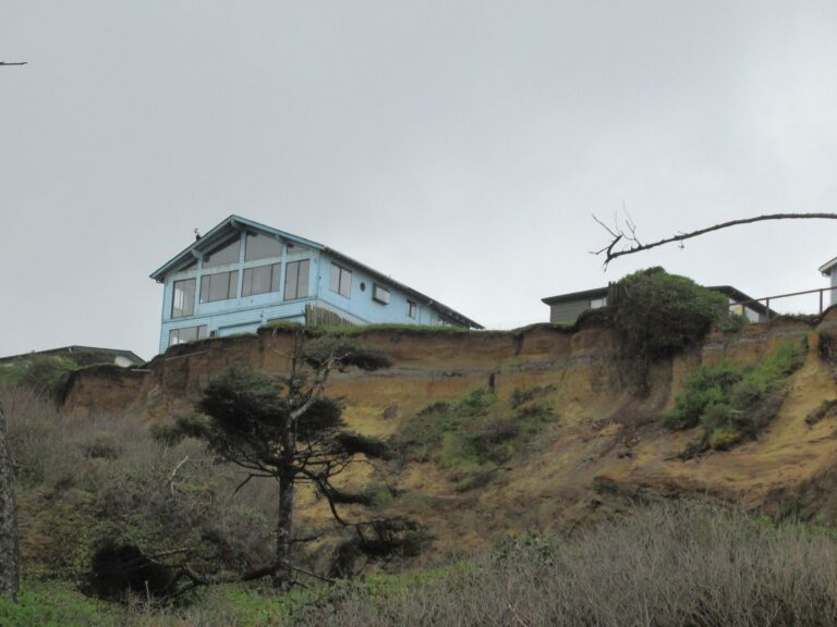
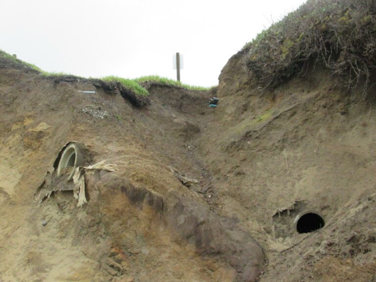
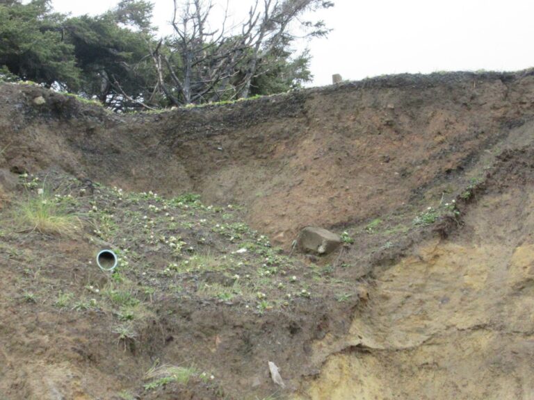
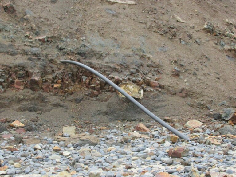
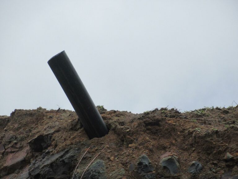
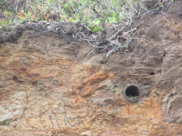
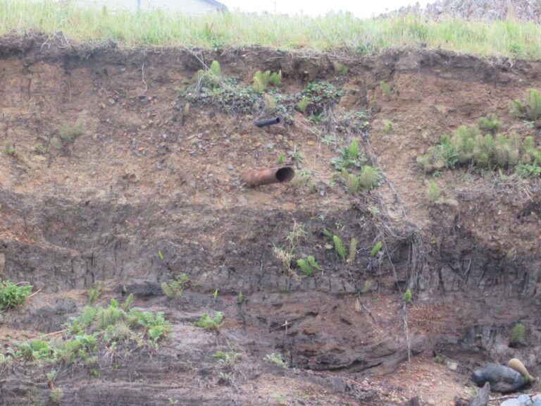
Report Images
All Mile 220 Reports
Mile 220
Yaquina Head north, Schooner Creek south
Beautiful sunny but windy day.
Jill Marks
Mile 220
Yaquina Head north, Schooner Creek south
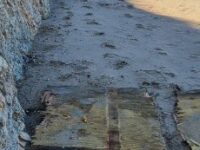
A large amount of debris, 7 large wood/foam panels and lots of pieces of all sizes of foam.
Hillsideshack
Mile 220
Yaquina Head north, Schooner Creek south
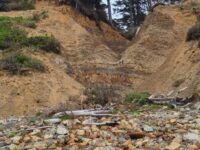
Schooner South's cliffs/bluffs continue to erode.
Hillsideshack
Mile 220
Yaquina Head north, Schooner Creek south
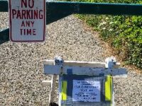
New sign up at the Schooner South beach access off 68th St warning of Contaminated waters.
Hillsideshack
Mile 220
Yaquina Head north, Schooner Creek south
No clouds in the sky, what a day on 220!
Hillsideshack
Mile 220
Yaquina Head north, Schooner Creek south
Started off chilly but the sun was shining and it was a gorgeous day on 220!
Hillsideshack
Mile 220
Yaquina Head north, Schooner Creek south
Continued changes on 220 due to the rains, high tides and normal loss of sand in winter.
Hillsideshack
Mile 220
Yaquina Head north, Schooner Creek south
Including photos of a black plastic pipe sticking out of Mile 220 bluff and odd milky fluid coming out of bluff and over rocks.
Hillsideshack

