Mile 220 Report
Yaquina Head north, Schooner Creek south
May 13, 2021
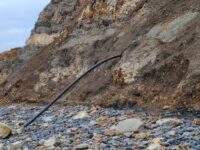
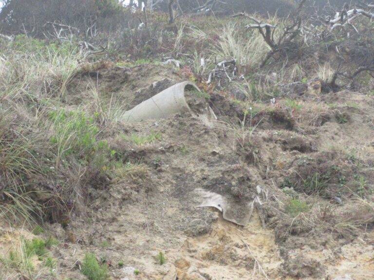
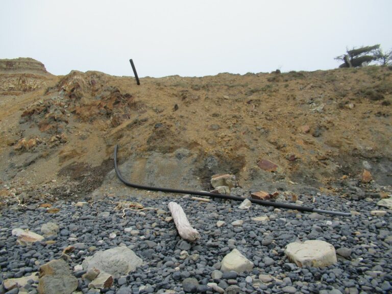
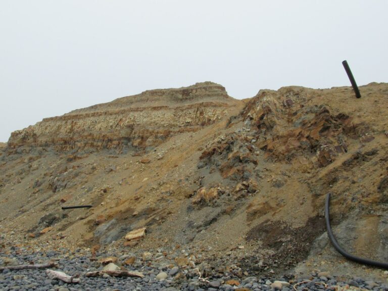
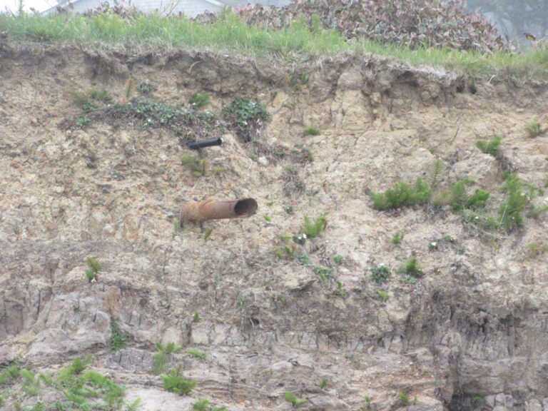
Jesse Jones asked about the pipes along the beach.
Report Details
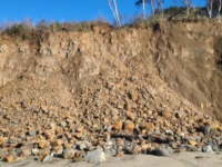
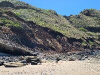
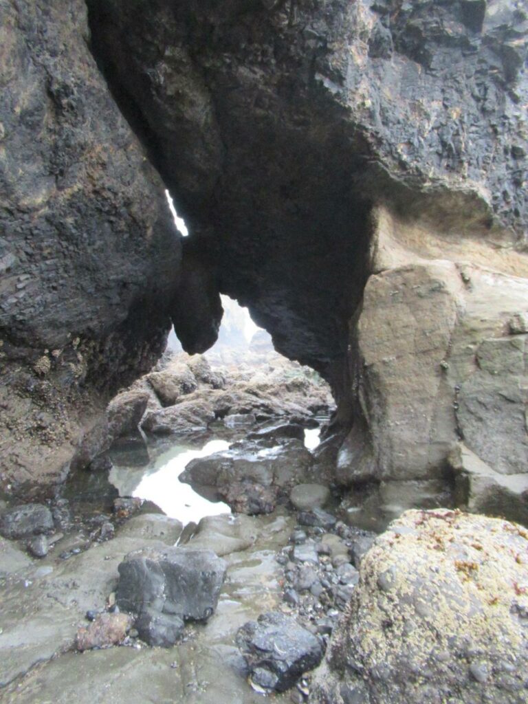
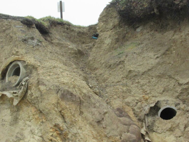
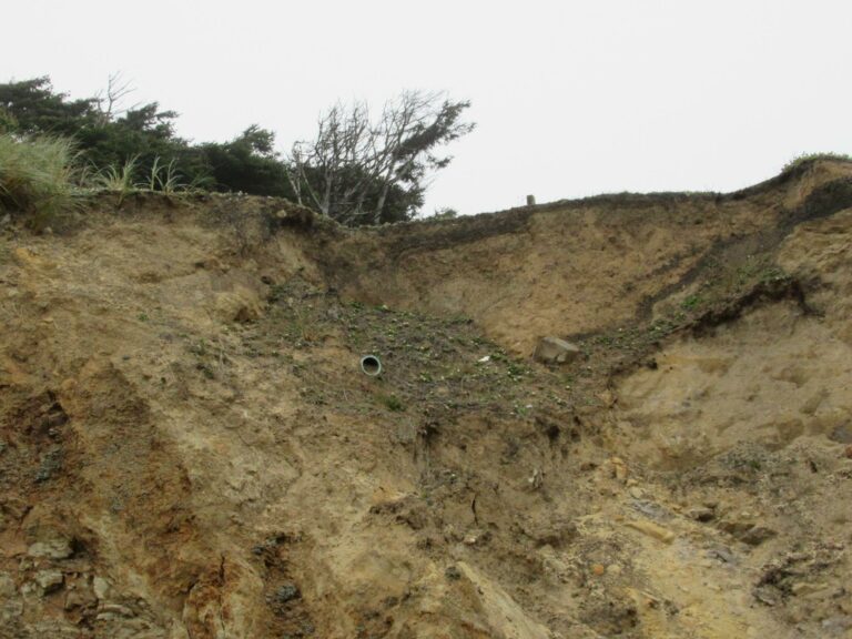
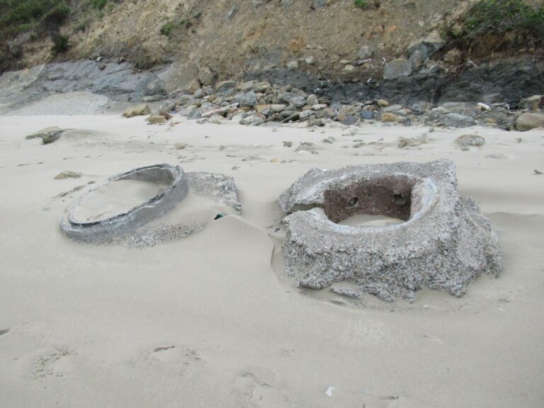
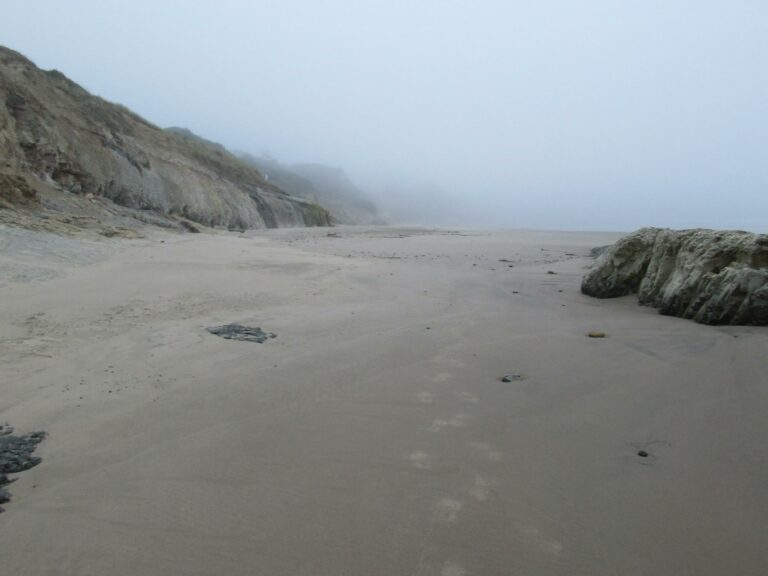
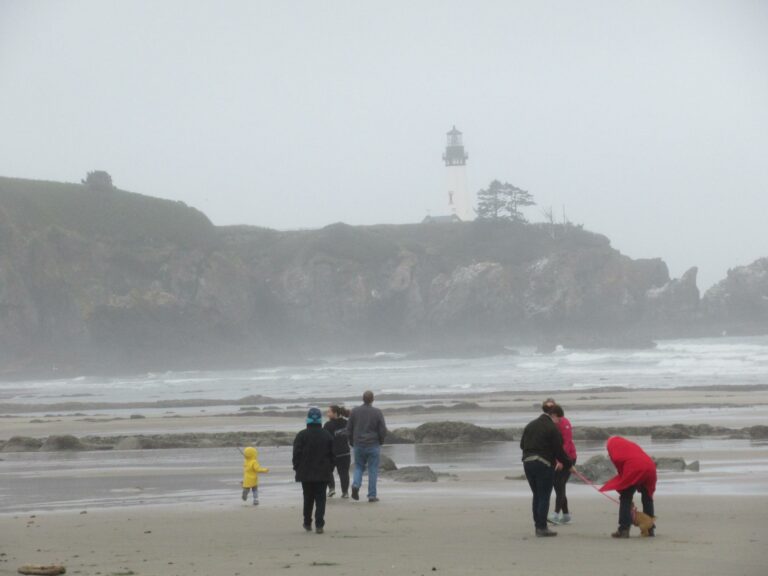
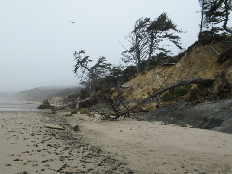
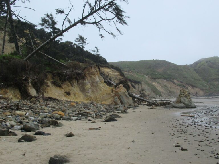
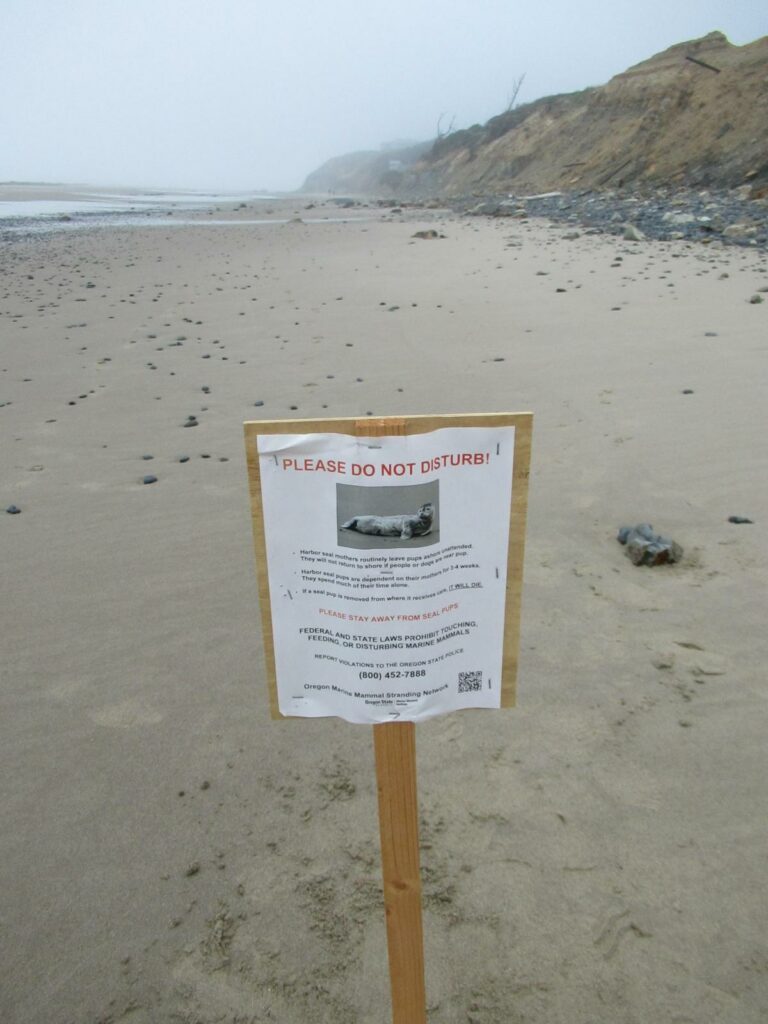
Jesse Jones asked about the pipes along the beach. I was working a Covid clinic for Lincoln County at Waldport where I met a county property assessor. I mentioned the pipes along mile 220, and the erosion there (it is affecting several houses). He concurred with my idea that the large cement pipes where probably done at some point by Newport, and that they had been replaced/moved further inland from the pumping station at 68th Street. This is the largest number of people I have seen on the beach in a LONG time. Especially since I try to get there early enough, and bad weather enough to avoid contact. I did get to my usual "Keyhole" location, it was slippery. There continues to be cliff erosion. The change in pipes visible or not (depending on erosion to expose them or slippage which hides them.
Conditions
Temperature: 50 F. Cloud Cover: Foggy. Wind Velocity: Calm/Light. Tide Level: -0.7 feet.
Human Activities
Number of people: 16. Number of dogs: 3. Some of the people headed south to the "tidal pool" area, most were walking along the sand.
Vehicles
Notable Wildlife
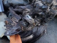
Hundreds of birds--then again, it is nesting season at Yaquina Head
Driftline Content
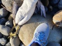
Seaweeds and seagrass, Marine debris (plastic, styrofoam, etc. washing in from the sea), Ocean-based debris (from fishing boats, ship trash, etc.).
Natural Changes
Landslides/major boulder falls, Newly exposed roots/trees falling.

Report Images
All Mile 220 Reports
Mile 220
Yaquina Head north, Schooner Creek south
Beautiful sunny but windy day.
Jill Marks
Mile 220
Yaquina Head north, Schooner Creek south
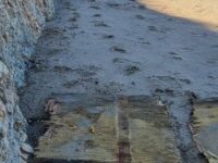
A large amount of debris, 7 large wood/foam panels and lots of pieces of all sizes of foam.
Hillsideshack
Mile 220
Yaquina Head north, Schooner Creek south
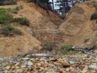
Schooner South's cliffs/bluffs continue to erode.
Hillsideshack
Mile 220
Yaquina Head north, Schooner Creek south
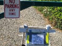
New sign up at the Schooner South beach access off 68th St warning of Contaminated waters.
Hillsideshack
Mile 220
Yaquina Head north, Schooner Creek south
No clouds in the sky, what a day on 220!
Hillsideshack
Mile 220
Yaquina Head north, Schooner Creek south
Started off chilly but the sun was shining and it was a gorgeous day on 220!
Hillsideshack
Mile 220
Yaquina Head north, Schooner Creek south
Continued changes on 220 due to the rains, high tides and normal loss of sand in winter.
Hillsideshack
Mile 220
Yaquina Head north, Schooner Creek south
Including photos of a black plastic pipe sticking out of Mile 220 bluff and odd milky fluid coming out of bluff and over rocks.
Hillsideshack

