Mile 23 Report
Pistol River SP north, south of Myers Creek
May 4, 2017
A muted day, thin fog drifting ashore.
Report Details
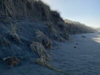
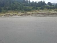
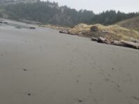
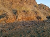
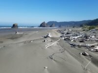
A muted day, thin fog drifting ashore. Summer sand piling against steep dune fronts. Scattered trees' debris esp on South end of mile. Marine gardens briefly accessed, but we feel are our reward. East side of 101 has some large areas of rock placement by ODOT for bank stabilization. 3 dozen gulls at mouth of Myers Creek.
Conditions
Temperature: 57 F. Cloud Cover: Foggy. Wind Velocity: Calm/Light. Wind Direction: W. Tide Level: 0.3 feet.
Human Activities
Number of people: 7. Number of dogs: 2. Walking or running: 5. Sitting: 1. Lots of footprints in beach sand
Concerns
Driftwood removal
Apparent violations: Circumstantial evidence suggests a vehicle capable of carrying 12 plus inches rounds of cut driftwood has been on the beach. No tracks, just freshly cut butts of driftwood in areas that carrying to highway above would be very difficult..Vehicles
Notable Wildlife
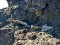
12 turkey vultures feeding on one bird carcass.
Beached Birds
Total dead birds: 1. Only a bit of spine and two black wings remained
Driftline Content
Small rocks, Shells.
Man-made Modifications
None that I could see
All Mile 23 Reports
Mile 23
Pistol River SP north, south of Myers Creek
There was a lot of small plastic debris and natural tree debris along the tide line between Meyers Creek and a short distance south of the stacks.
Botermans
Mile 23
Pistol River SP north, south of Myers Creek
Steep newly cut foredunes and rocks more exposed because of winter waves scouring the beach.
Bob Harvey
Mile 23
Pistol River SP north, south of Myers Creek
The cave in one of the monoliths was accessible.
Bob Harvey
Mile 23
Pistol River SP north, south of Myers Creek
The tallest dunes (~10ft) are being eroded as they are each year.
Bob Harvey
Mile 23
Pistol River SP north, south of Myers Creek
Illegal ATV tracks recently made running from south to north and back again.
Bob Harvey
Mile 23
Pistol River SP north, south of Myers Creek
Parked here to walk Mile 22.
Lavenne22

