Mile 23 Report
Pistol River SP north, south of Myers Creek
November 30, 2021
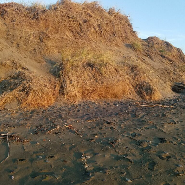
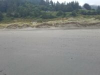
The tallest dunes (~10ft) are being eroded as they are each year.
Report Details
The tallest dunes (~10ft) are being eroded as they are each year. Clumps of dune grass has slid down dune face. See pic.
Conditions
Temperature: 56 F. Wind Velocity: Moderate. Wind Direction: SW. Tide Level: 2.1 feet.
Human Activities
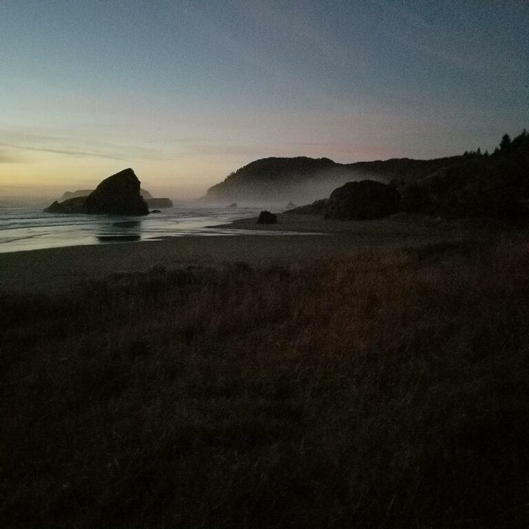
Number of people: 4. Number of dogs: 1. Walking or running: 2. Photography: 2. Close to sunset for photography
Vehicles
Cars/trucks parking: 5. ATVs/OHVs parking: 1.
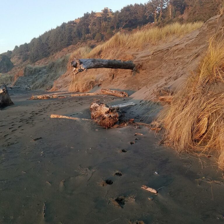
Driftline Content
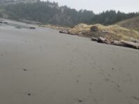
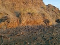
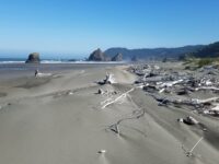
Small rocks, Wood pieces. No log litter at south end. Lots at low spot in dunes. More at N end. Pic of log projection from dune face.
Man-made Modifications
No modifications
Natural Changes
Erosion of vegetated foredune.
Report Images
Bob Harvey
CoastWatcher
All Mile 23 Reports
Mile 23
Pistol River SP north, south of Myers Creek
There was a lot of small plastic debris and natural tree debris along the tide line between Meyers Creek and a short distance south of the stacks.
Botermans
Mile 23
Pistol River SP north, south of Myers Creek
Steep newly cut foredunes and rocks more exposed because of winter waves scouring the beach.
Bob Harvey
Mile 23
Pistol River SP north, south of Myers Creek
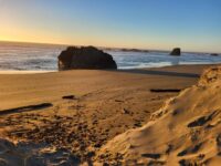
The cave in one of the monoliths was accessible.
Bob Harvey
Mile 23
Pistol River SP north, south of Myers Creek
The tallest dunes (~10ft) are being eroded as they are each year.
Bob Harvey

Mile 23
Pistol River SP north, south of Myers Creek
Illegal ATV tracks recently made running from south to north and back again.
Bob Harvey
Mile 23
Pistol River SP north, south of Myers Creek
Parked here to walk Mile 22.
Lavenne22