Mile 23 Report
Pistol River SP north, south of Myers Creek
July 2, 2014
The beach is definitely getting more visitors but doesn't seem much the worse for it.
Report Details
The beach is definitely getting more visitors but doesn't seem much the worse for it. A little more trash but still not much of a problem. Not a place for solitude. Sea star population seems to be unaffected by wasting disease. Usual number of dead birds. Sand Dollar population appears to be declining. I think this is one of the most scenic sections of the Oregon Coast and remains my favorite
Conditions
Temperature: 67 F. Cloud Cover: Sunny. Wind Velocity: Moderate. Wind Direction: N. Tide Level: 0.0 feet.
Human Activities
Number of people: 16. Number of dogs: 1. Walking or running: 10. Playing in surf: 2. Playing in sand: 2. Sitting: 2. This beach always gets a fair amount of visitors, even in Winter but the beach remains in pretty good shape. Seem like visitation is increasing
Vehicles
Notable Wildlife
Sea Star population seems to be in good shape, no evidence of wasting disease. No dead sea stars or sea stars missing limbs
Beached Birds
Total dead birds: 2. I almost always find dead birds on this beach
Dead Fish or Invertebrates
This use to be an excellent source of intact sand dollars but this experienced a steady decline in the four years I have been coming here and now I see only scattered fragments
Driftline Content
Animal casings (e.g., crab, shrimp molt), Shells.
Actions & Comments
No problems in this area


Report Images
All Mile 23 Reports
Mile 23
Pistol River SP north, south of Myers Creek
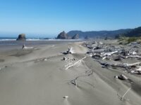
There was a lot of small plastic debris and natural tree debris along the tide line between Meyers Creek and a short distance south of the stacks.
Botermans
Mile 23
Pistol River SP north, south of Myers Creek
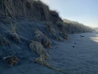
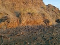
Steep newly cut foredunes and rocks more exposed because of winter waves scouring the beach.
Bob Harvey
Mile 23
Pistol River SP north, south of Myers Creek
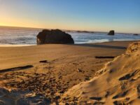
The cave in one of the monoliths was accessible.
Bob Harvey
Mile 23
Pistol River SP north, south of Myers Creek
The tallest dunes (~10ft) are being eroded as they are each year.
Bob Harvey
Mile 23
Pistol River SP north, south of Myers Creek
Illegal ATV tracks recently made running from south to north and back again.
Bob Harvey
Mile 23
Pistol River SP north, south of Myers Creek
Parked here to walk Mile 22.
Lavenne22

