Mile 23 Report
Pistol River SP north, south of Myers Creek
April 21, 2015
I inspected my Mile 23 at low tide on Tuesday the 21st.
Report Details
I inspected my Mile 23 at low tide on Tuesday the 21st. I have never been there when the tide was so low , about negative 1.3. The first thing I learned is that the marine gardens there are far more extensive than I ever knew before. Most are rock faces and are surrounded by deep water so are not accessible for close inspection without boots. I did not have boots. There are more than a hundred sea stars evident, and the handful that I could get close to all seem healthy. The diseased ones I could see last year are gone. In the same nearby and approachable area are only healthy sea stars both ochre and red. I was excited at what I saw. This was not a scientifically conducted inspection.
Conditions
Temperature: 52 F. Cloud Cover: Sunny. Wind Velocity: Moderate. Wind Direction: N. Tide Level: -1.3 feet.
Human Activities
Number of people: 1. Number of dogs: 1. Other Activities: Mussel gathering. One older gent gathered a few mussels for home use. He had attempted to find razor clams on mile 24 but saw no "shows".
Concerns
Vehicles
Notable Wildlife
Red and Ochre seastars are abundant and the few approachable ones are healthy-looking.
Dead Fish or Invertebrates
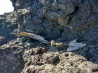
Unusual concentration. About a dozen clumps of mussels scattered on beach in vicinity of north end monoliths. I have seen this kind of thing before, but it is not very common
Driftline Content
virtually no wrack line


Report Images
All Mile 23 Reports
Mile 23
Pistol River SP north, south of Myers Creek
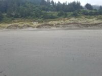
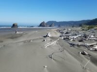
There was a lot of small plastic debris and natural tree debris along the tide line between Meyers Creek and a short distance south of the stacks.
Botermans
Mile 23
Pistol River SP north, south of Myers Creek
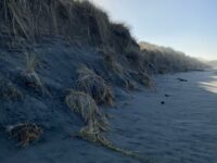
Steep newly cut foredunes and rocks more exposed because of winter waves scouring the beach.
Bob Harvey
Mile 23
Pistol River SP north, south of Myers Creek
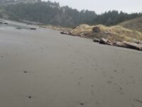
The cave in one of the monoliths was accessible.
Bob Harvey
Mile 23
Pistol River SP north, south of Myers Creek
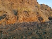
The tallest dunes (~10ft) are being eroded as they are each year.
Bob Harvey
Mile 23
Pistol River SP north, south of Myers Creek
Illegal ATV tracks recently made running from south to north and back again.
Bob Harvey
Mile 23
Pistol River SP north, south of Myers Creek
Parked here to walk Mile 22.
Lavenne22

