Mile 217 Report
Newport, Nye Beach north, Agate Beach south
September 21, 2013
We read about the wave run-up study in the paper (http://www.
Report Details
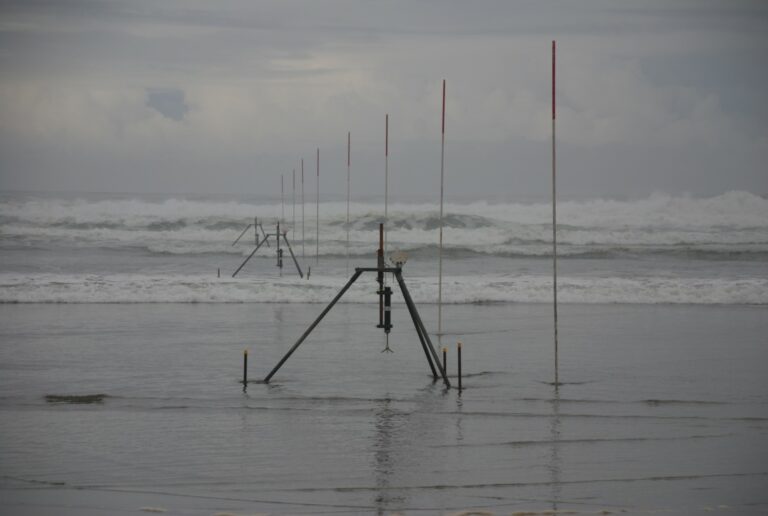
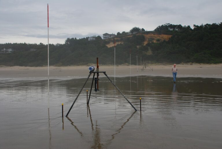
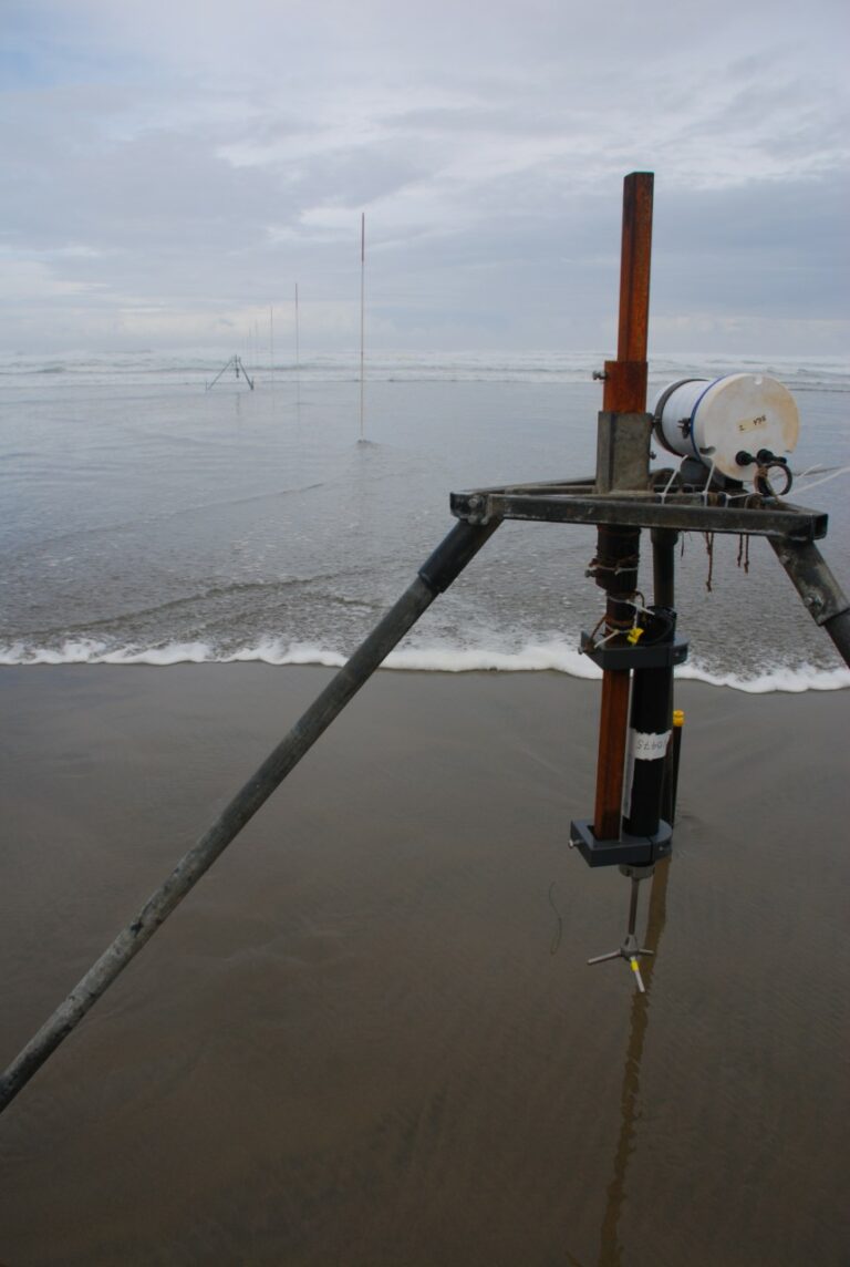
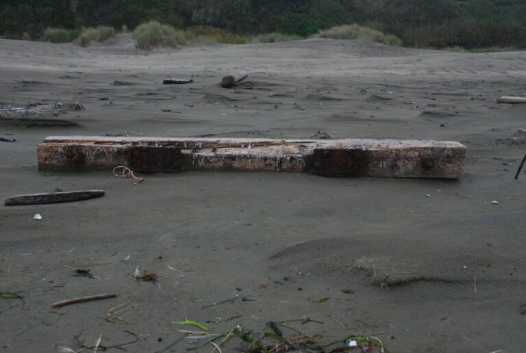
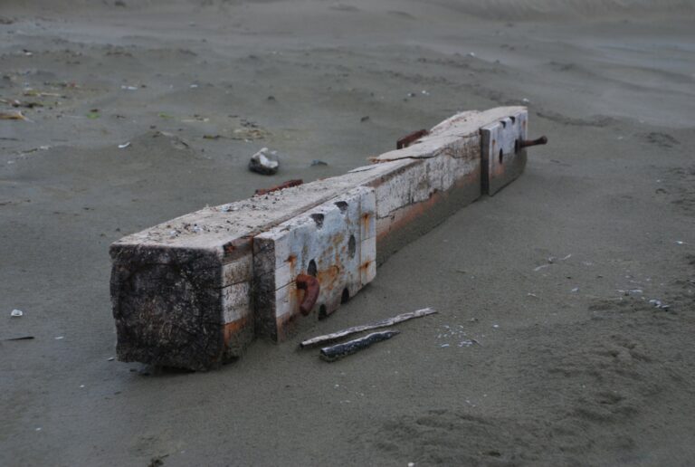
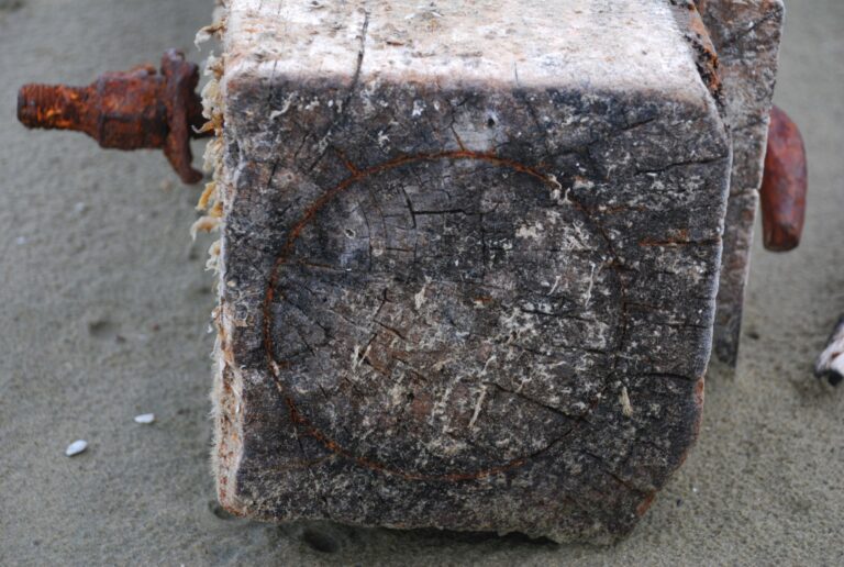
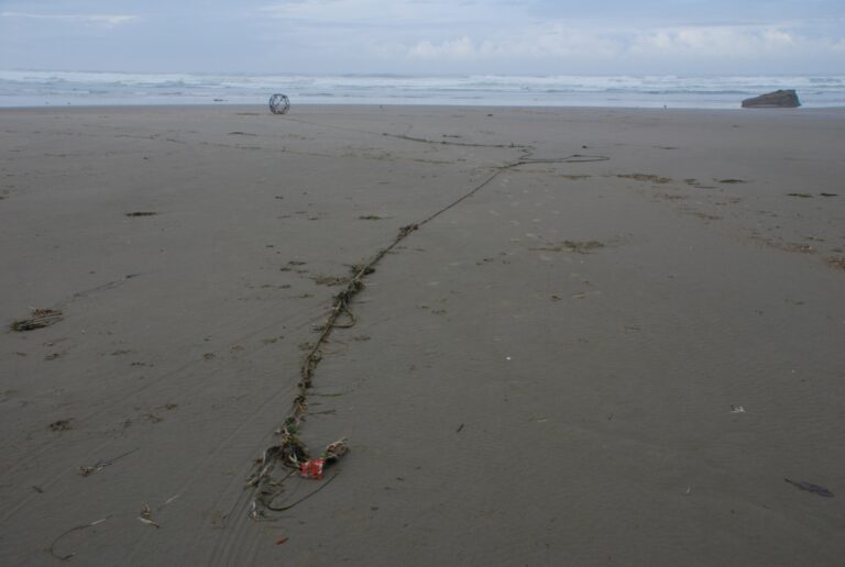
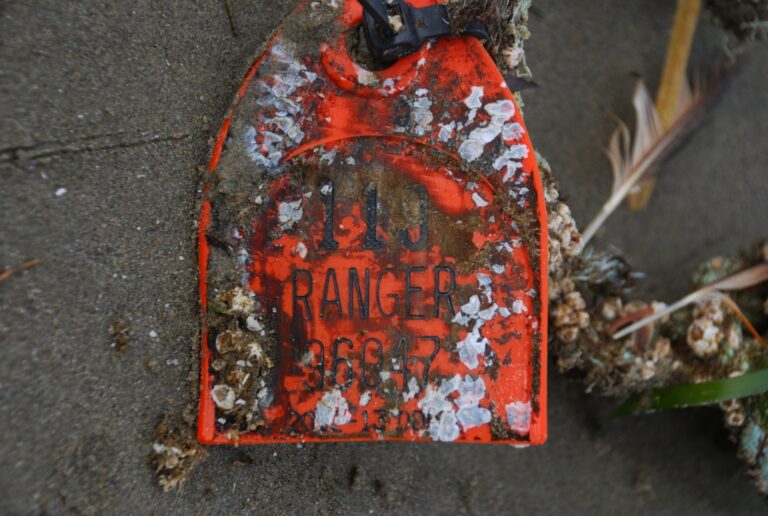
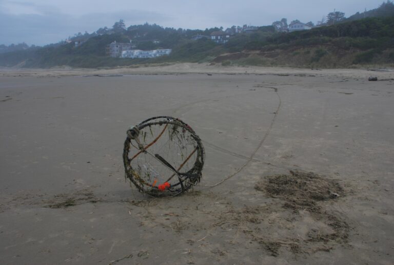
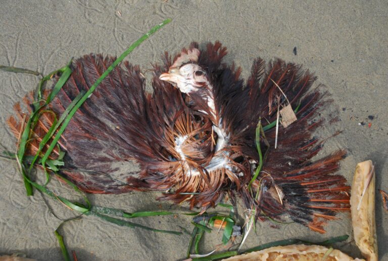
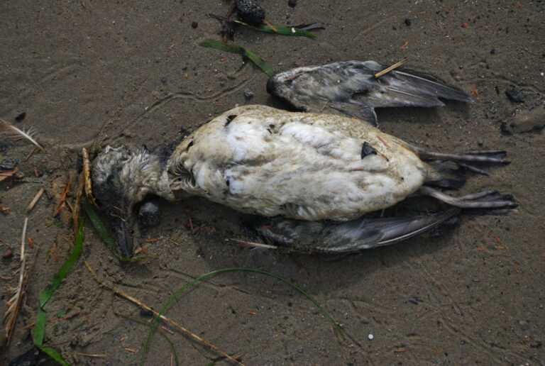
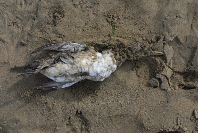
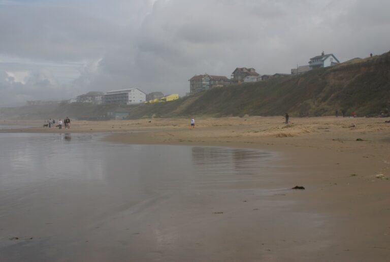
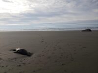
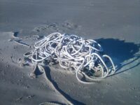
We read about the wave run-up study in the paper (http://www.newportnewstimes.com/v2_news_articles.php?heading=0&story_id=...) and decided to check it out. See photos below.Dead birds that I saw (there were probably more):- 9 common murres- 1 grebe- 1 chicken (!!)There was a crab pot with its full rope, from the vessel Quila-J, 541-332-9047. Perhaps someone can call the number and tell them we found their lost pot :-)There is a railroad tie with the tie plates still attached. It has good marine growth so it has been in the ocean for a while. However the wood looks fairly new. Definitely could be tsunami debris.Nearby there is also a complete telephone/power pole, also with quite a bit of marine growth.Enjoy the photos...
Report Images
daveincamas
CoastWatcher
All Mile 217 Reports
Mile 217
Newport, Nye Beach north, Agate Beach south
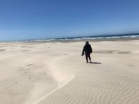
Quick walk during mid-afternoon hours.
IsraelK

Mile 217
Newport, Nye Beach north, Agate Beach south
This is our first winter in Newport.
digincommunity
Mile 217
Newport, Nye Beach north, Agate Beach south
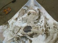
I took more photos of underside & tail of Pacific Ray (tentative ID) then I uploaded.
malachite

Mile 217
Newport, Nye Beach north, Agate Beach south
Tentative ID of a pacific ray on the beach lying in run off stream that, according to linked Google map segment, that is located a little north of NW 20th in Newport, OR.
malachite

Mile 217
Newport, Nye Beach north, Agate Beach south
Last month we had contacted State Parks regarding the need for a Doggie Poop Station.
digincommunity
Mile 217
Newport, Nye Beach north, Agate Beach south
Last month we had contacted State Parks regarding the need for a Doggie Poop Station.
digincommunity
Mile 217
Newport, Nye Beach north, Agate Beach south
A large swath of the bluff is well vegetated with shore pines, willow and native shrubs like silverweed, and black twinberry.
digincommunity