Mile 288 Report
Bayocean Peninsula, Kincheloe Point
December 23, 2021
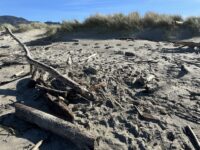
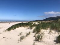
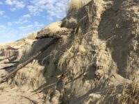
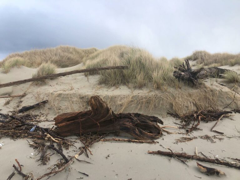
There was clear indications of active foredune erosion with visible cutbanks (see photo) and significant debris.
Report Details
There was clear indications of active foredune erosion with visible cutbanks (see photo) and significant debris.
Conditions
Temperature: 47 F. Cloud Cover: Partly Cloudy. Wind Velocity: Moderate. Wind Direction: W. Tide Level: 6.0 feet.
Human Activities
Number of people: 3. Walking or running: 3. Tire tracks from a full-sized vehicle on the beach.
Concerns
Litter
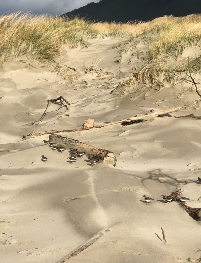
Disturbances: Shorebirds moving in response to humans/dogs
Vehicles
Notable Wildlife
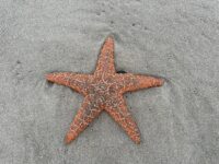
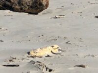
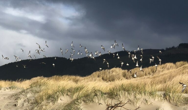
Flock of small shore birds (possibly black turnstones) and seagulls. See photos.
Driftline Content
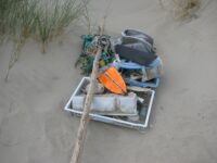
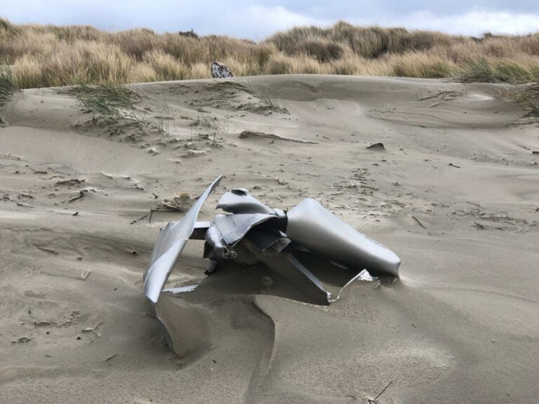
Small rocks, Seaweeds and seagrass, Shells, Animal casings (e.g., crab, shrimp molt), Wood pieces, Land-based debris (picnics, etc.), Styrofoam, Ocean-based debris (from fishing boats, ship trash, etc.). There were a lots of razor clam shells in addition to muscles, crab shells, and a variety of other clam shells. There was a significant number of plastic water bottles and pieces of flotation foam, and Styrofoam (including foam pellets) The largest piece of debris was a roughly 5' diameter twisted and torn piece of sheet metal possibly from a hull? There was also a variety of types of used lumber mixed with piles of driftwood. Other misc. debris included rope, plastic jugs, plastic lids, a large wood plywood bottomed boat cushion, a hard round plastic buoy, crab pot buoys, and crab bait containers. We weren’t able to pick up all the trash as it was far too much without a vehicle or large wagon. There were vehicle tracks on the beach which I’m guessing are from the park ranger with OR State Parks. I see him out there a lot. I’m hoping he’ll be able to pick up the large pile of trash we bagged and left in the middle of Mile 288 (near the trail sign) on his next drive past. Additionally, there was a large piece of sheet metal which may have been from a boat. Since a commercial fishing boat capsized off the end of the south jetty last year, I’m wondering if this is part of the hull.
New Development
50 ft. back in the dunes at the southern most end of Mile 288 there was a clear indication of dead or dying dune grass. It appears as though the area was used as a camp and the grass was trampled. There were also two large piles of shells and an area where there had been a fire. Based on the location, I’m guessing the military used this location during their drills on Bayocean, but I wasn’t sure.
Natural Changes
Erosion of vegetated foredune.
Actions & Comments
We picked up 2 large bags of debris from the northern 1/2 mile of Mile 288 and contacted Oregon State Parks to notify them of their location for the next day's drive along the beach. UPDATE December 26: I’ve talked with Travis who oversees this stretch of beach. I’ve met him out there in the past patrolling. He mentioned Sam is covering the patrols (who I haven’t met.) Sam is off this week. They can’t make it out as far as Mile 288 every day right now due to a pinch point with soft sand and the timing of low tides, but they are going to try to get there in the next couple of weeks. He asked that we tie a small amount of bright flagging near any debris we leave for them and of course to haul it up high enough to avoid the high tides this time of year (which we did.) They try to pick up the large stuff when they patrol with their vehicle, but seemed to really appreciate the help with water bottles and small debris which takes them too much time. I’m hoping to get out there again before they pick it up to add to the pile!
Report Images
All Mile 288 Reports
Mile 288
Bayocean Peninsula, Kincheloe Point
It was an incredibly busy day for Mile 288 the day before the snowy plover nesting season began! I was glad to see DOGAMI and OPRD on-site, and appreciated OPRD's willingness to haul the debris I collected back to their dumpsters. It was also exciting to see so many plovers in the wet sand.
Karen Schank
Mile 288
Bayocean Peninsula, Kincheloe Point
The weather is definitely turning.
SchankK
Mile 288
Bayocean Peninsula, Kincheloe Point
It was a beautifully calm, warm, sunny day along mile 288.
SchankK
Mile 288
Bayocean Peninsula, Kincheloe Point
There were 6 or more plovers and large accumulations of driftwood (both along the base and on top of the foredune cutbank).
SchankK
Mile 288
Bayocean Peninsula, Kincheloe Point
It was a beautiful, warm, sunny Saturday with a moderate north wind.
SchankK
Mile 288
Bayocean Peninsula, Kincheloe Point
It was great to see two separate families picking up beach trash/debris in the driftline from the most recent storms including in Mile 288!
SchankK
Mile 288
Bayocean Peninsula, Kincheloe Point
There was clear indications of active foredune erosion with visible cutbanks (see photo) and significant debris.
SchankK
Mile 288
Bayocean Peninsula, Kincheloe Point
Mid-winter day that seemed like spring.
YaakovM

