Mile 40 Report
North of Sisters Rocks, cliffs south of Arizona Beach
April 2, 2016
Mussel Ck.
Report Details
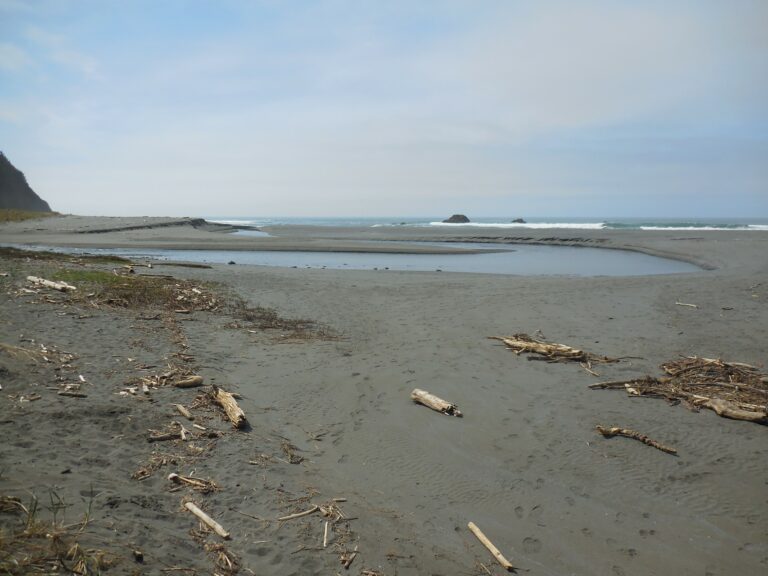
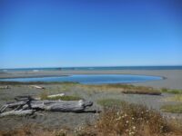
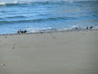
Mussel Ck. meanders and now enters south of AZ Beach -- the mouth has moved significantly south. ATV trail (approx. mid-mile) access from beach now blocked by large rocks. Sand now covers beach area of previously exposed boulders; large rocks in areas previously of sandy beaches.
Conditions
Temperature: 58 F. Cloud Cover: Sunny. Wind Velocity: Calm/Light. Wind Direction: NW. Tide Level: 0.4 feet.
Human Activities
Number of people: 5. Number of dogs: 3. Walking or running: 4. Sitting: 1.
Vehicles
Cars/trucks parking: 2.
Driftline Content
Small rocks, Shells. Very little along driftline
New Development
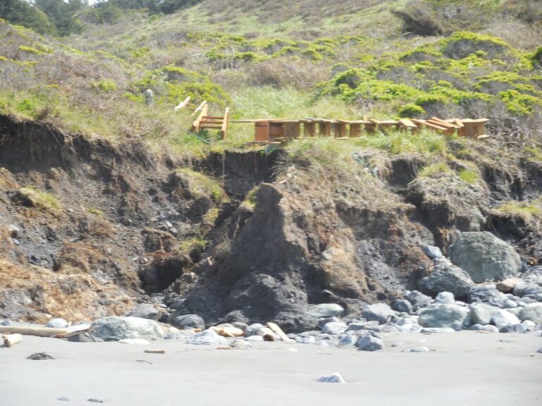
Appears to be new construction at Pigeon Pt. access area
Man-made Modifications
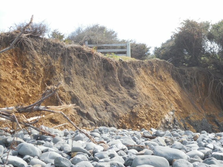
Steps to beach removed to bluff
Natural Changes
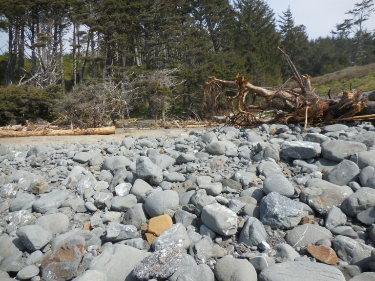
Sandy beaches and rocky beaches appear to have switched locations
Report Images
azbeach
CoastWatcher
All Mile 40 Reports
Mile 40
North of Sisters Rocks, cliffs south of Arizona Beach
This is not a full report -- a placeholder for our 4th qrtr 2016 observations.
azbeach
Mile 40
North of Sisters Rocks, cliffs south of Arizona Beach
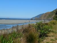
Beautiful day on beautiful beach.
azbeach

Mile 40
North of Sisters Rocks, cliffs south of Arizona Beach
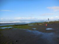
The mile could not be accessed from Arizona Beach -- Mussel Creek was impassable; the southern access from Frankport site was flooded, we parked in the area south of that.
azbeach
Mile 40
North of Sisters Rocks, cliffs south of Arizona Beach
Tracks of apparently illegal vehicle spotted.
azbeach
Mile 40
North of Sisters Rocks, cliffs south of Arizona Beach
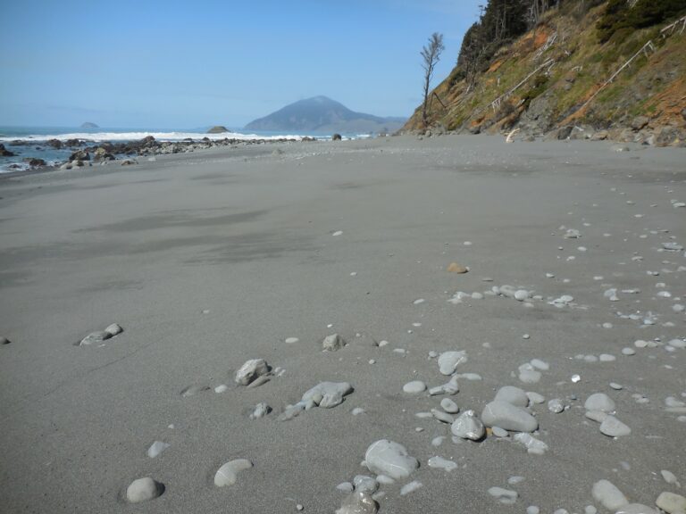
Seasonal sands have arrived, making this mile very accessible.
azbeach

Mile 40
North of Sisters Rocks, cliffs south of Arizona Beach
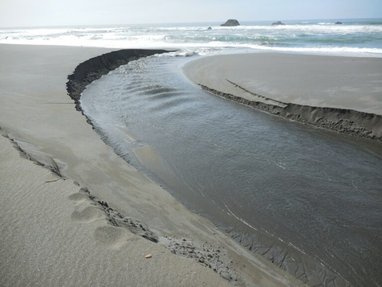
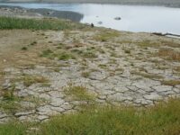
Mussel Creek channel is meandering, narrower and deepening.
azbeach
Mile 40
North of Sisters Rocks, cliffs south of Arizona Beach
Mussel Creek continues to flow south to north, and then west to join the ocean.
azbeach