Mile 340 Report
South Jetty Columbia River, Fort Stevens SP
June 15, 2023
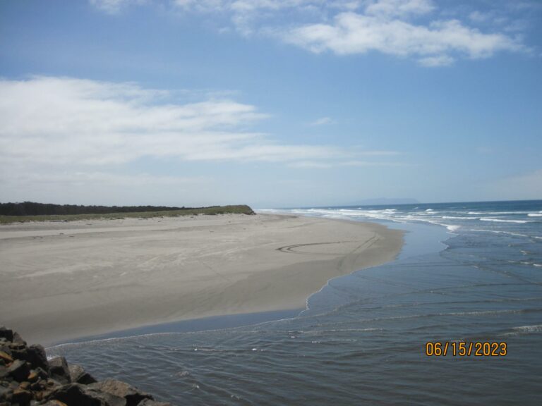
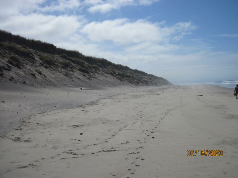
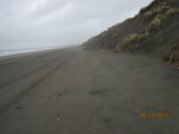
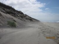
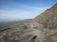
Dunes are taking on less steep slopes - see photos.
Report Details
Dunes are taking on less steep slopes - see photos.
Conditions
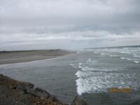
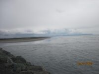
Temperature: 62 F. Cloud Cover: Cloudy. Wind Velocity: Calm/Light. Wind Direction: NW. Tide Level: -1.2 feet.
Vehicles
Cars/trucks parking: 2.
Notable Wildlife
None
Driftline Content
Seaweeds and seagrass, Shells, Wood pieces. Very little marine debris.
New Development
Dunes are beginning to take on summer, less steep, slope (see photos).
Natural Changes
Dunes are beginning to take on summer, less steep, slope (see photos).
Actions & Comments
Dunes are beginning to take on summer, more gentle, slopes.

Report Images
edjoyce
CoastWatcher
All Mile 340 Reports
Mile 340
South Jetty Columbia River, Fort Stevens SP
This mile report was conducted to document notable wildlife offshore observed from the South Jetty/Parking Lot C area looking down onto mile 340 from the jetty.
sultanym
Mile 340
South Jetty Columbia River, Fort Stevens SP
Nothing important to note.
edjoyce
Mile 340
South Jetty Columbia River, Fort Stevens SP
Small amounts of marine debris were reported on NOAA's Marine Debris survey report.
edjoyce
Mile 340
South Jetty Columbia River, Fort Stevens SP
Dunes are taking on less steep slopes - see photos.
edjoyce
Mile 340
South Jetty Columbia River, Fort Stevens SP
Dead sea lion, which had been shot with a shot gun, and direct evidence of continued eastward migration of eroding dunes
edjoyce
Mile 340
South Jetty Columbia River, Fort Stevens SP
Steep dune faces typical for winter.
edjoyce