Mile 33 Report
North of Otter Point, south of Hubbard Mound
May 4, 2017
This is my first time here.
Report Details
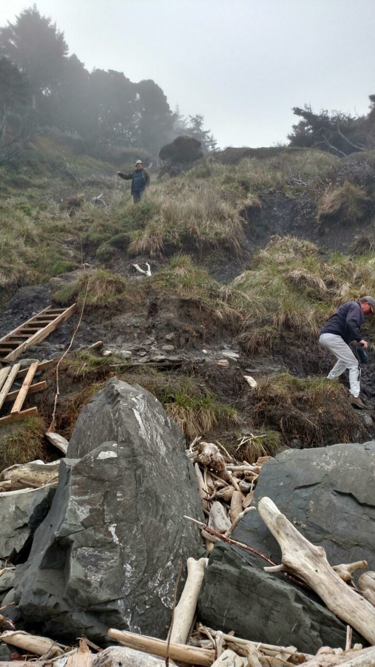
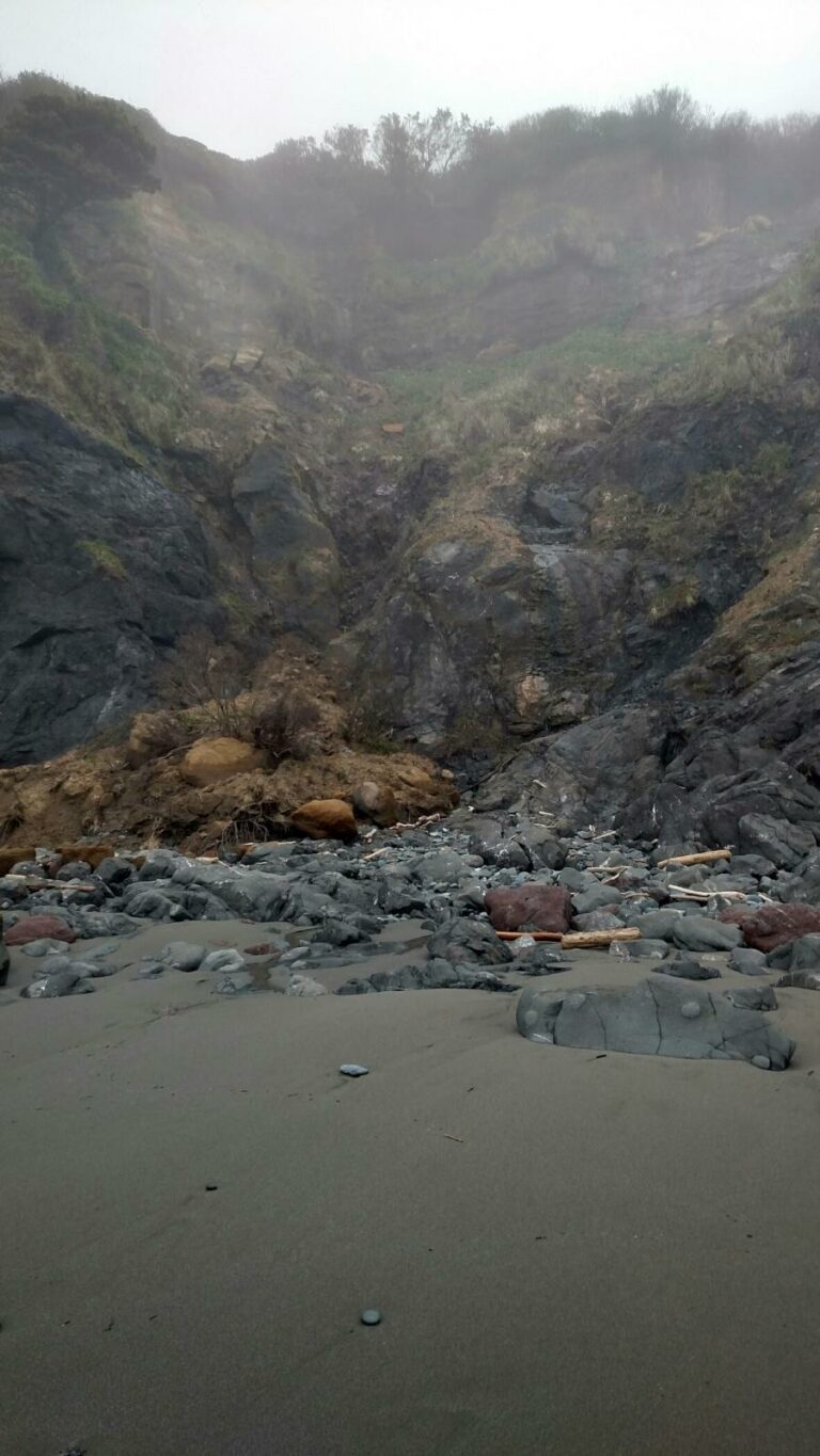
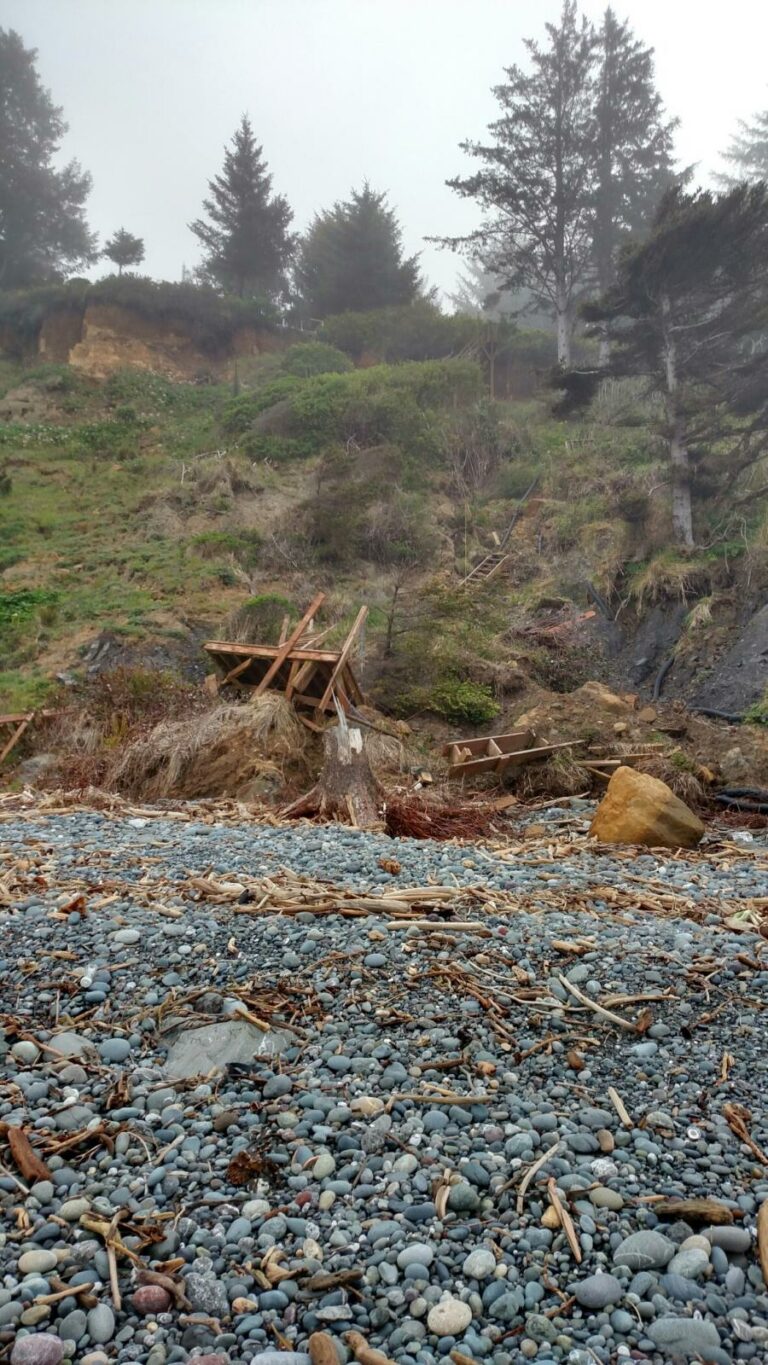
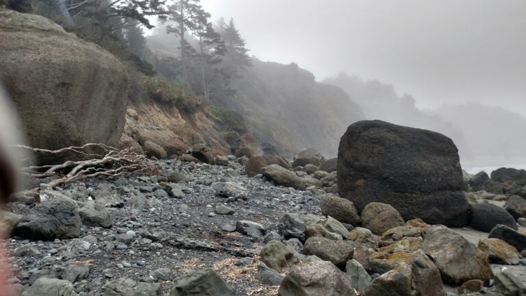
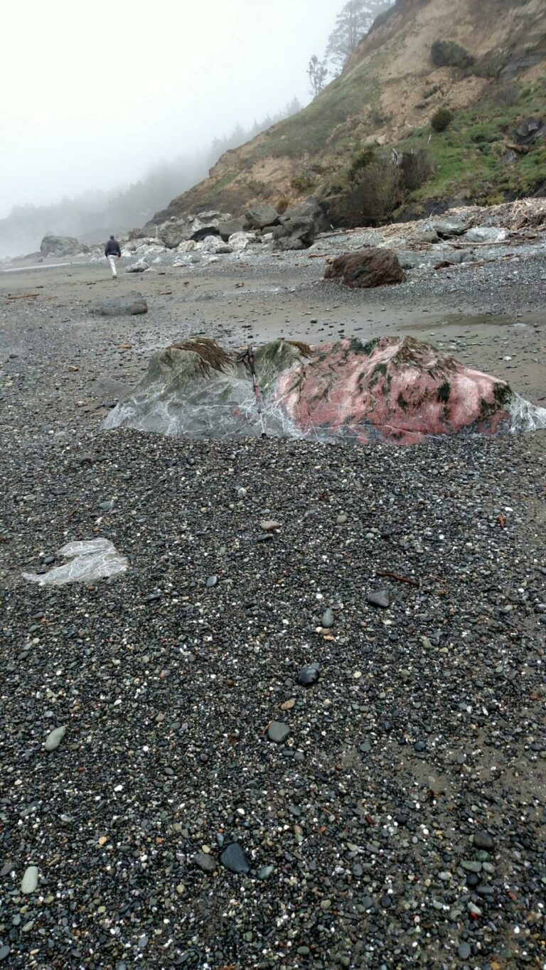
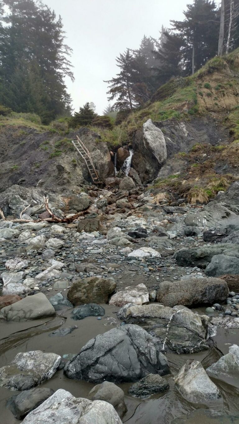
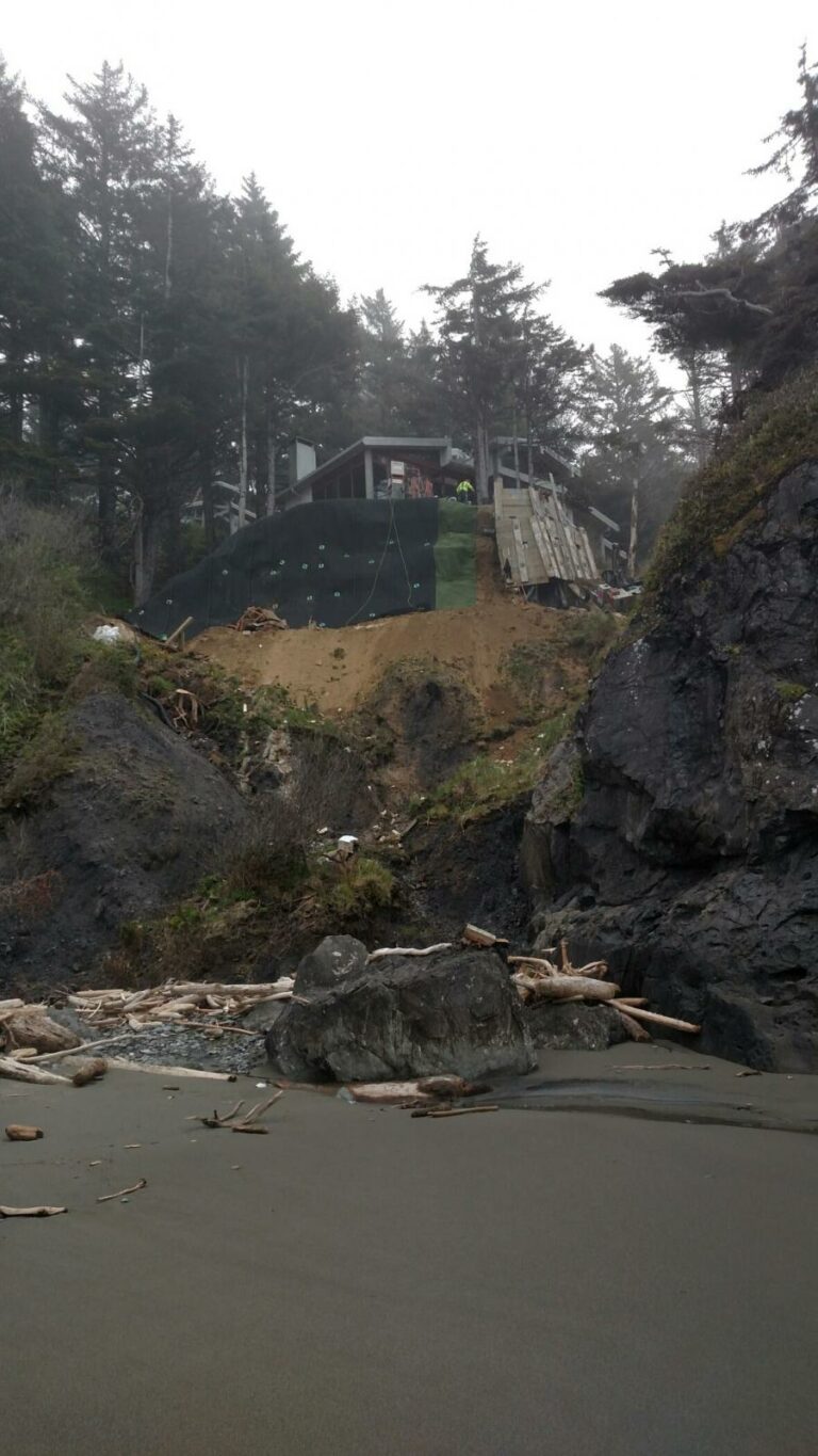
This is my first time here. 2 friends accompany me. We descend down the Northside of Otter Point on a badly eroded trail, with the welcome assistance of a rope. See first picture. The stretch is characterized by 50 to 75 ft bluffs topped with trees and occasionally a private home. This one mile of Coast has suffered terrific damage in recent months .The pictures show landslides, boulder strewn beaches, private staircases damaged and unusable, and one house threatened and undergoing bank stabilization. Tide was receding during our foggy walk. We saw no others. A beautiful , dramatic area. The stairs do not belong to the threatened house. The street that serves those houses is S. Chantrelle Ln. The house's coordinates are 42°28'20.79"N. 124°25'15.90"W acc to Google Earth.It seemed that every wooden staircase on that mile was damaged except for one built of metal.
Conditions
Temperature: 55 F. Cloud Cover: Foggy. Wind Velocity: Calm/Light. Tide Level: 3.5 feet.
Concerns
Report Images
All Mile 33 Reports
Mile 33
North of Otter Point, south of Hubbard Mound
This is my first time here.
Bob Harvey
Mile 33
North of Otter Point, south of Hubbard Mound
Great afternoon on the beach.
B Edgar
Mile 33
North of Otter Point, south of Hubbard Mound
The high tide and large swell last week has eroded the cliff face somewhat.
B Edgar
Mile 33
North of Otter Point, south of Hubbard Mound
Beautiful warm evening lots of Western Gulls heading south.
B Edgar
Mile 33
North of Otter Point, south of Hubbard Mound
Little activity: 5 people, 1 dog, 2 Black Oystercatchers.
B Edgar
Mile 33
North of Otter Point, south of Hubbard Mound
Some small landslides after over 10" of rainOcean is very muddy from the outflow of silt from the Rouge River.
B Edgar
Mile 33
North of Otter Point, south of Hubbard Mound
very little litter on the beachA very nice day
B Edgar

