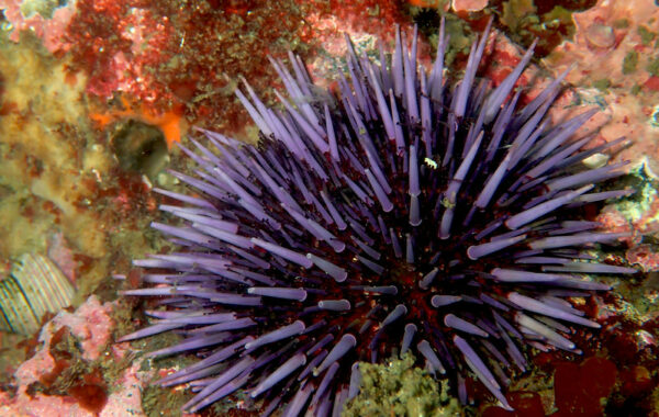
Nearshore Ocean
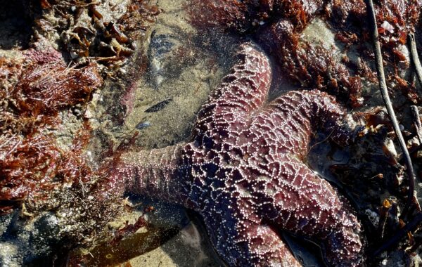
Rocky Habitats
We advocate for enhanced protection for Oregon’s rocky intertidal and subtidal habitats.
Establishing Protection
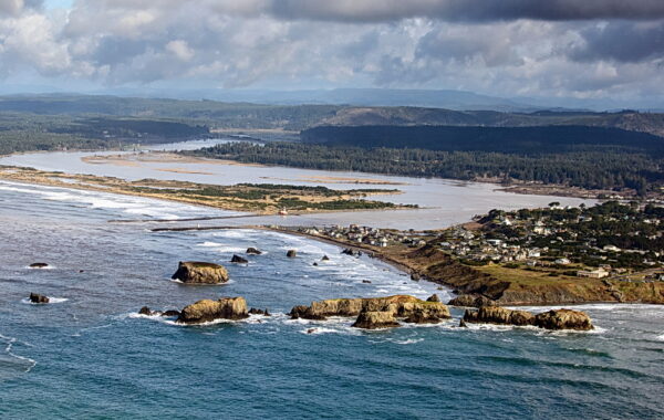
Oregon’s headlands, tidepools, rocky beaches, cliffs, and offshore rocks (collectively about 41% of the state’s 362-mile shoreline) are managed by multiple state and federal agencies using a coordinated framework known as the Territorial Sea Plan.
Oregon’s policies governing the management of rocky shore areas had become long out of date. They had been adopted during the 1990s and never fully implemented. Oregon Shores urged the state’s Ocean Policy Advisory Council (OPAC) to begin working toward updating these policies, which are part of the Territorial Sea Plan, the package of regulations that govern the management of Oregon’s state waters, out to the three-mile limit. OPAC concurred and created a special working group to consider new policies.
Oregon Shores participated in the long process of developing a new Rocky Habitat Management Strategy. OPAC recommended the strategy, which the Land Conservation and Development Commission adopted as Part Three of the Territorial Sea Plan.
Site Designations
One feature of the strategy involves “site designations”—particular levels of recognition for key habitat areas. This process requires the public (whether individuals, organizations, or community-organized campaigns) to suggest sites and prepare detailed proposals to advocate for site designation.
Under the strategy, there are three types of site designations with various levels of protection:
- Marine Education Area or “Marine Garden”: focused on public education and non-regulatory management aimed at stewardship, with restrictions on shellfish or seaweed harvest
- Marine Research Area: focused on scientific research, with management similar to marine gardens.
- Marine Conservation Area: focused on conservation, with restrictions on shellfish, seaweed, and fish harvest, along with an emphasis on site stewardship.
These designations encourage greater stewardship and protection of our rocky habitats and limit exploitation by coastal visitors interacting with these sensitive ecosystems.
The first round of public proposals for site designations occurred in 2021-2022. It was a difficult pilot process, with many twists and turns, but ultimately, eight of 12 sites proposed by community groups, including Oregon Shores, were designated. The sites approved by the Land Conservation and Development Commission (LCDC) include Ecola Point, Chapman Point, Cape Lookout, Fogarty Creek, Cape Foulweather, Coquille Point, Blacklock Point, Cape Blanco, and Coquille Point.
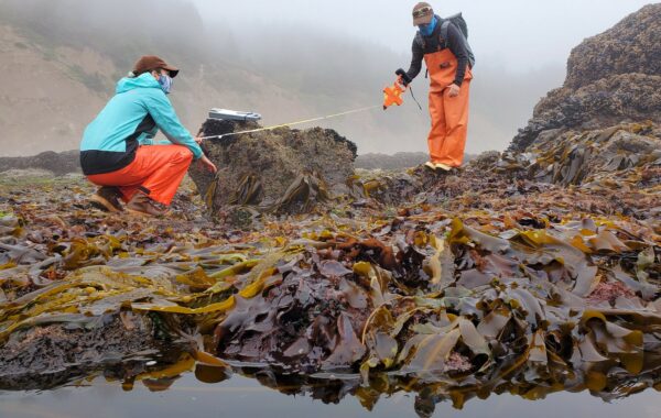
CoastWatch Program Manager Jesse Jones assisted citizens involved in several proposals, particularly those at Blacklock Point, Chapman Point, and Ecola Point.
Oregon Shores was also part of a coalition formed to share responses and address agency concerns in the course of advocating for these sites. For some of these proposals, local groups met regularly to discuss the considerations in preparation for the workshops. Stakeholder outreach and subsequent conversations continued to be vital to this work. This kind of commitment and mutual support will be needed again if there are future campaigns for new site designations.
What's Next?
OPAC is now considering when to open a new round of public proposals for new designations. Oregon Shores will again be actively involved and contact our supporters and other community leaders to organize support for key sites.
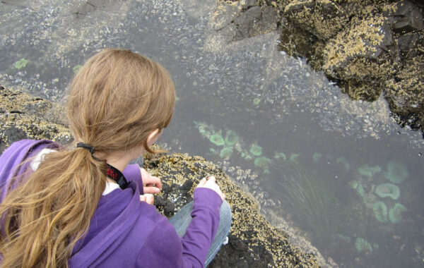
Oregon Shores supporters can also help to make the strategy effective by monitoring the designated sites, helping to educate visitors about them, and reporting violations of the rules for these critical habitat areas. It takes a network of concerned community members to protect our rocky shores.
If you would like to support us in future efforts, consider becoming a CoastWatch volunteer and begin conducting CoastWatch Reports on your adopted mile.
Help preserve the legacy of our Oregon coast for all generations
More about our work