Resources > News
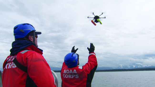
Drone Use Regulations
Drones have research and commercial value, but irresponsible and unregulated drone use, especially by untrained recreational hobbyists, threatens wildlife, privacy and solitude sought by beach-goers, and public safety. Oregon Shores advocates for strict regulation of drone use on the shore, in state parks, and in other natural areas.
Controversy over the increasing use of drones, and particularly recreational use by untrained operators, led to an effort by the Oregon Parks and Recreation Department (OPRD) to establish rules for their use in state parks, natural areas, and the entire Oregon shoreline.
Protecting Wildlife
Drones can stress wildlife and alter natural behavior, which may put animals in harm’s way. Additionally, irresponsible drone use over critical wildlife habitat may alter animal breeding, nesting, or rearing behavior and reduce survival.
Over a million seabirds and shorebirds nest along Oregon’s coastline every year, including the endangered Western Snowy Plover and species of concern like the Tufted Puffin and Black Oystercatcher. Wildlife disturbances due to improper drone use are increasing on the Oregon coast. Last year the Oregon Black Oystercatcher Project documented a rate of over three drone disturbances per week at active Black Oystercatcher nests. Marine mammals can also be driven off haul-out and pupping areas by drones. Limiting drones through these regulations will help to protect these key habitat areas, while preserving peaceful experiences for those who want to explore Oregon’s natural places, observe wildlife, and recreate safely.
Advisory Committee
An advisory committee was assembled, representing conservation groups, drone users, recreationists potentially affected by drones, and state and federal agencies. Oregon Shores was represented on this body. The advisory group has been working along with OPRD staff for more than a year to devise a plan. While Oregon Shores would favor no drone use whatsoever aside from research purposes, we contributed to the development of a potentially workable compromise.
The basic plan is to map the entire Oregon coast and all other OPRD-managed lands, zoned into areas coded red (no drone use), green (drone use allowed), and yellow (drone use allowed in certain circumstances, such as seasonally). We also drafted guidelines for best practices for drone users.
A key argument being made by Oregon Shores and other conservation groups is that public analysis and feedback concerning the maps is essential. It is helpful to gather public comments on the basic regulatory framework being proposed, but there must be another round of public input once people have a chance to study the actual maps.
OPRD can’t regulate where drones fly, only where they take off and land. However, operators are supposed to keep drones in sight, so prohibiting take-offs and landings in buffer zones around important habitat areas can protect them from being buzzed, disturbing wildlife and human visitors. It is therefore important that locations where drones can be operated be far enough from bird nesting or marine mammal pupping sites that legally operated drones can’t reach them. (Illegally operated drones are another story, but it will be easier to report violations if it is clearly understood that no drone should be in a protected habitat area.)
Oregon Shores Shoreline and Land Manager Phillip Johnson serves on OPRD’s advisory committee for drone policy. Both Oregon Shores and Portland Audubon are advocating for strong restrictions on the coast except for specific locations where they are allowed. Permits will be required for areas (zoned yellow) where drone use is conditional. We advocate for requiring permits for green zones as well, readily available but providing an opportunity for OPRD to keep track of drone use and to ask drone operators to read a set of best practices; this is still under consideration. We are arguing for liberal use of red zones on the coast. Conservation voices may be needed if the draft maps don’t include extensive enough red zones to preserve wildlife, or if the criteria for orange zones aren’t stringent enough.
The public now has an opportunity to comment on this draft plan. A public comment period runs through Dec. 29. The department issued a packet with background information and the sample maps, which can be viewed here. Send OPRD your comments at oprd.publiccomment@oprd.oregon.gov. You can also comment via a form on their website.
The full mapping project won’t be completed until some point well into the fall or later. A rule-making process leading to a final decision by the Parks and Recreation Commission probably won’t take place until sometime in 2024.
For more information from OPRD, contact Katie Gauthier, (503) 510-9678, katie.gauthier@oprd.oregon.gov. For more about Oregon Shores’ position, contact Phillip Johnson, (503) 754-9303, phillip@oregonshores.org.