All Mile 302 Reports

Mile 302
Oswald West SP, Neahkahnie Mountain, Devils Cauldron
THREE TEENAGERS WERE SHOOTING AT THE BIRDS OFF THE CLIFFS WITH BB/PELLET GUN (w/a scope on top).
Lisa Marie
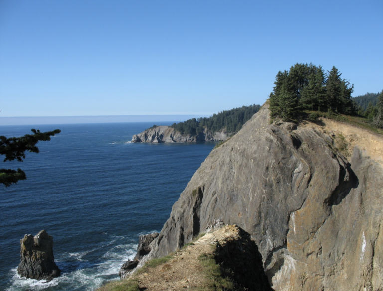
Mile 302
Oswald West SP, Neahkahnie Mountain, Devils Cauldron
Except for the folks who visit the cauldron by car via the parking lot on 101, the trail between this point and Short Sands appears to be lightly used.
beachmike