All Mile 136 Reports
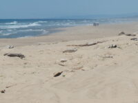
Mile 136
Oregon Dunes NRA, west of Saunders Lake
Mile 136 is the heart of ATV country, with quads and dune buggies constantly crawling the nearby dunes over "sand roads" and myriad tracks through the pines.
Foggy