All Mile 330 Reports
Mile 330
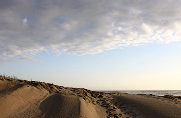
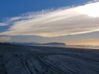
Sunset Beach, Sunset Lake
Three NPS staff went out to do a beach clean up and coast walk.
LEWI
Mile 330
Sunset Beach, Sunset Lake
We went out to do a beach clean up with the intention of walking our full mile.
LEWI

Mile 330
Sunset Beach, Sunset Lake
Three Lewis and Clark National Historic Park employees went and walked the mile to pick up garbage and complete the survey.
LEWI
Mile 330
Sunset Beach, Sunset Lake
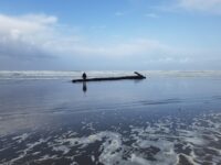
On the Winter Solstice, December 21, 2022 at an outgoing 5ft tide, three people surveyed Mile 330 for an hour.
LEWI
Mile 330
Sunset Beach, Sunset Lake
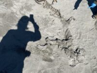
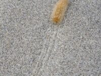
There were many birds, living and dead (9), seen on the mile of beach.
LEWI
Mile 330
Sunset Beach, Sunset Lake
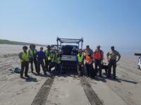
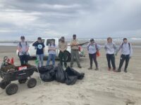
Had a dozen plus individuals (Lewis and Clark National Historic Park youth engagement along with Oregon State Parks) over a 5 hour period picking up post fourth of July trash.
LEWI
Mile 330
Sunset Beach, Sunset Lake
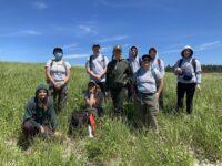
Today the NPS crew joined the hybrid beach grass training with Risa Askerooth from Oregon State University.
LEWI