Mile 294
Manhattan Beach, State Wayside
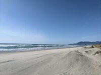
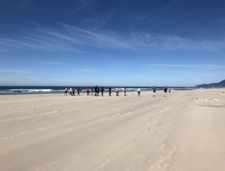
Tillamook County
Longitude: -123.943385771750
- Motor vehicle travel is prohibited from the north boundary of Nehalem Bay State Park (45° 42.2196', Mile 299), southerly to the south boundary of the Boy Scout property north of Sand Lake (45° 18.6444', Mile 268), except as follows: Motor vehicles essential to and engaged in boat launchings will be allowed any time during the year for a distance of 300 feet northwest from (45° 26.4036' 123° 57.2052', Mile 279), near Happy Camp.

2019
Very calm day with more activity than usual due to the presence of a middle school class doing PE on the beach. No concerning observations made.read more
2018
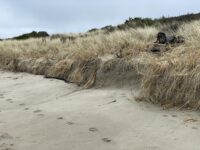
The beach had very little activity, however it is important to consider the very high tide that may explain the lack of foot traffic. We are a class that is limited to the school bell schedule, and unfortunately the class period is during the highest tides of the day. There...read more
2017
2016
Not very much activity on this particular survey. We did notice a lone river otter that was running along the water and a large amount of polysomes washed ashore.read more
No new changes to the beach, evidence of high usage as shown by high amount of dog waste bags that were not thrown out and driftwood shelters.read more
Saw a few people, a few wildlife animals along with some debris. Saw dead birds, dead crabs, and dead vellela vellela. Weather was overcast with little wind.read more
There were no dead birds, and a tremendous amount of phytoplankton along the driftline which are the only really different observations we had compared to previous surveys. The increase in human activity is probably largely due to the fact that this is the first decent weather that we have had...read more
2015
Aside from the large sand pit (approx. 2ft in diameter) that was dug up, the beach looked fairly undisturbed.Humans were mostly just walking their dog(s).read more