All Mile 275 Reports

Mile 275
South end Netarts Spit
One small State Park vehicle traveling north on the beach .
Allison


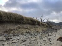
Mile 275
South end Netarts Spit
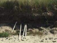
a photo of the drainfield pipes revealed by the dune erodingphoto of garbage picked up
Allison
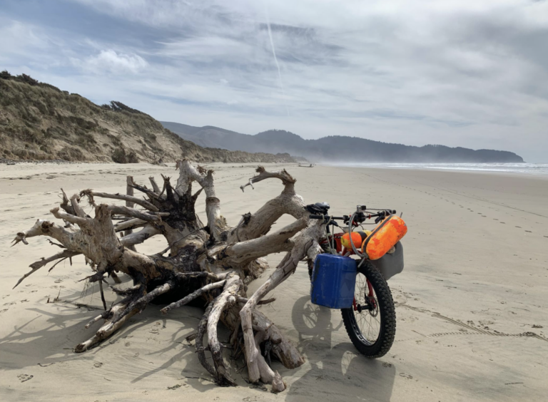
Mile 275
South end Netarts Spit
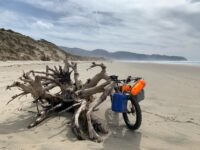
I observed Large and small debris mostly from crabbing spread from mile 275 - 279
highamm