All Mile 26 Reports
Mile 26
Cape Sebastian SP, Buena Vista Wayside, S of Hunter Cr
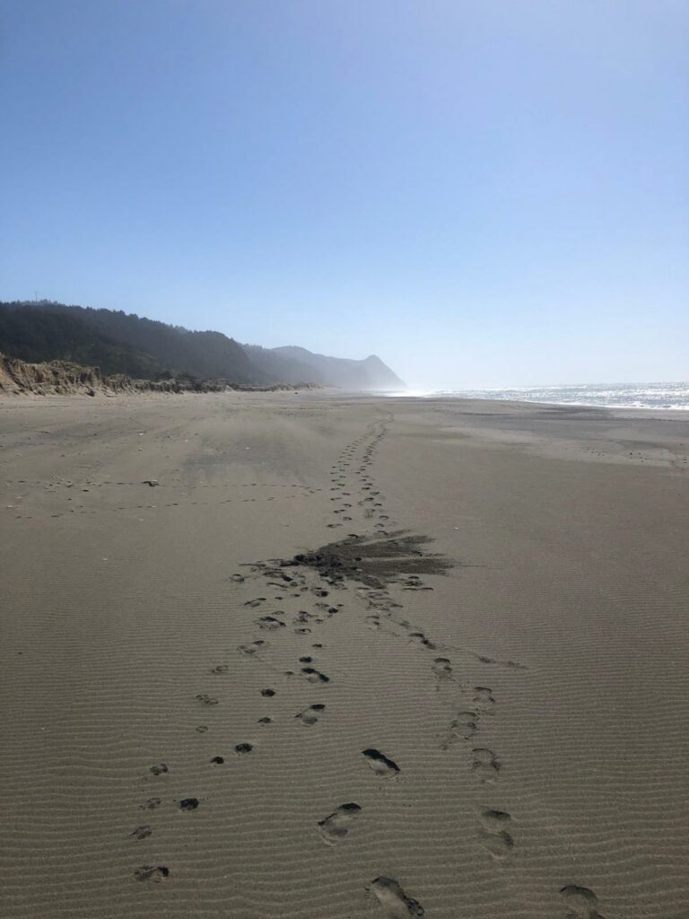
Beautiful day with pelicans fishing the surf , seagulls on the beach , little trash compared to same time last year.
hobbins
Mile 26
Cape Sebastian SP, Buena Vista Wayside, S of Hunter Cr
The beach was very clean, sand was warm, and the waves were running hard.
hobbins
Mile 26
Cape Sebastian SP, Buena Vista Wayside, S of Hunter Cr
This was the cleanest the beach has ever been since we have walked it.
hobbins
Mile 26
Cape Sebastian SP, Buena Vista Wayside, S of Hunter Cr
A beautiful day with clear skies and beautiful surf.
hobbins
Mile 26
Cape Sebastian SP, Buena Vista Wayside, S of Hunter Cr
Mile 26 was the cleanest it has ever been.
hobbins
Mile 26
Cape Sebastian SP, Buena Vista Wayside, S of Hunter Cr
It was a warm and beautiful day!
hobbins
Mile 26
Cape Sebastian SP, Buena Vista Wayside, S of Hunter Cr
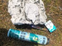
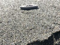
There was still a lot of styrofoam on the beach!
hobbins
Mile 26
Cape Sebastian SP, Buena Vista Wayside, S of Hunter Cr
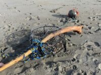
There was a lot of trash on the beach.
hobbins