All Mile 22 Reports
Mile 22
Pistol River SP central
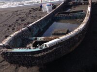
I observed an unusual piece of large iron debris on the beach next to "wind surfers" rock. Update March 8: Jake responded that he and another ranger are working with NOAA to try to figure out who is belongs to and then a plan for removal.
Shari Botermans

Mile 22
Pistol River SP central
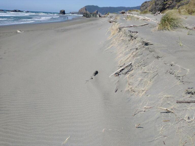
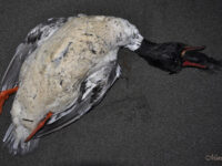
Overall clean, windswept beach with lots of massive driftwood and notable dune erosion.
Lavenne22
Mile 22
Pistol River SP central
The information and photo are from John Chapman at HMSC.
Volunteer Trainer
Mile 22
Pistol River SP central
This "hotspot" for international windsurfing competition in the summertime,the Pistol River Wave Bash is nearly abandoned now and there was no one else to see the sunset from there tonight .
Muriah
Mile 22
Pistol River SP central
The Pistol River remains closed from the ocean.
KenBax